FOR IMMEDIATE RELEASE | October 27, 2026
Harkin Aerial is proud to announce the launch of its new website at harkin.io. Based in Oyster Bay and working across New York City and the tri-state area, Harkin maps what is really there: drone and ground-based LIDAR, photogrammetry and thermal imaging, turned into models, maps and measurements a team can build on.
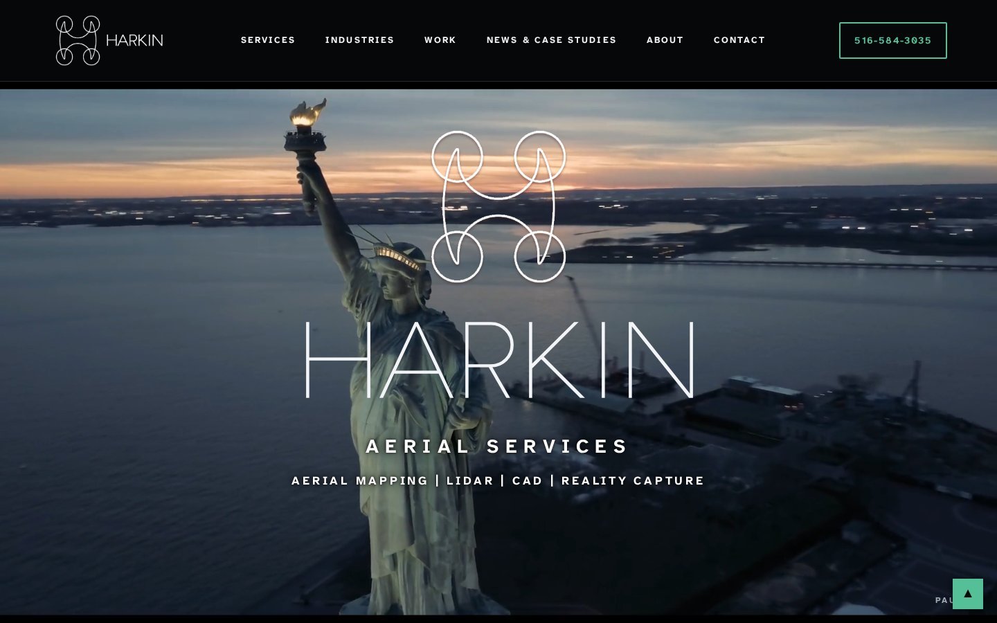
Seeing a building the way a building sees itself
Point a laser at a room a few million times and the room finally gets to tell its side of the story. Harkin flies it, scans it and measures it, then hands over the model, the map and the numbers. Real sites, captured accurately, so decisions get made on facts.
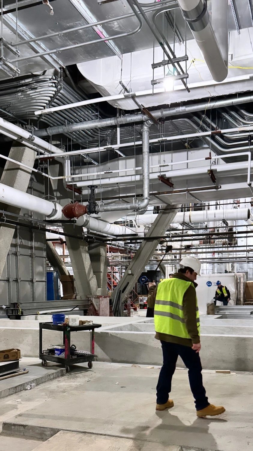
Seven ways to capture a site
- Aerial mapping
- Training
- Ground scanning
- Data processing
- As-builts and BIM
- Inspections
- Forensics
Industries served include civil and environmental, land surveying, architecture, cultural preservation, GIS and geospatial, manufacturing and legal forensics.
About Harkin Aerial
Harkin Aerial is a drone services and reality capture company based in Oyster Bay, New York. Start a project at harkin.io.